Working in the agricultural sector today invariably means dealing with a lot of data. Whether it’s jobs to be done, recording crop and soil health or demonstrating that environmental targets have been met, data is at the heart of nearly everything we now do on our farms. But how can you record all of this information and keep on top of constantly evolving requirements? Rather than relying on paper or numerous rigid market solutions you need something flexible and easy to use, that can adapt to your needs.

How do you keep tabs on everything that needs looking at, fixing, treating or doing on your farm? From broken fencing to faulty water troughs to problems in your crops, there’s always something that needs to be logged. And if it’s a large farm, how can you efficiently direct staff to the jobs they need to do?
How Coreo can help:
Coreo is the simple solution to help you easily collect data on your farm. In just one platform you’re able to create the surveys you need, when you need them. It’s the solution that evolves with your needs. And importantly, the data is 100% yours.
Even for self-confessed technophobes Coreo really is easy to use.

One of Coreo’s main strengths is its flexibility. You can use it to collect all sorts of data that you need to operate effectively and efficiently on your farm. A few examples are:

The Coreo app lets you record 3 main types of location, each of which is relevant for on-farm work

From start to finish, Coreo is built to help you collect robust data quickly and reduce mistakes.

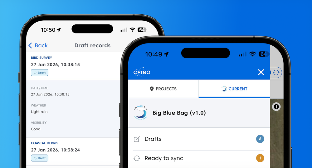
All the data you collect on your phone (images, sightings, locations etc) are uploaded to Coreo and stored in the cloud.

Use Coreo just for your own data collection needs. Or invite staff, contractors and agents to work with you.

How Coreo is saving Knepp’s ecologists hundreds of hours on manual data entry and providing real-time data insights
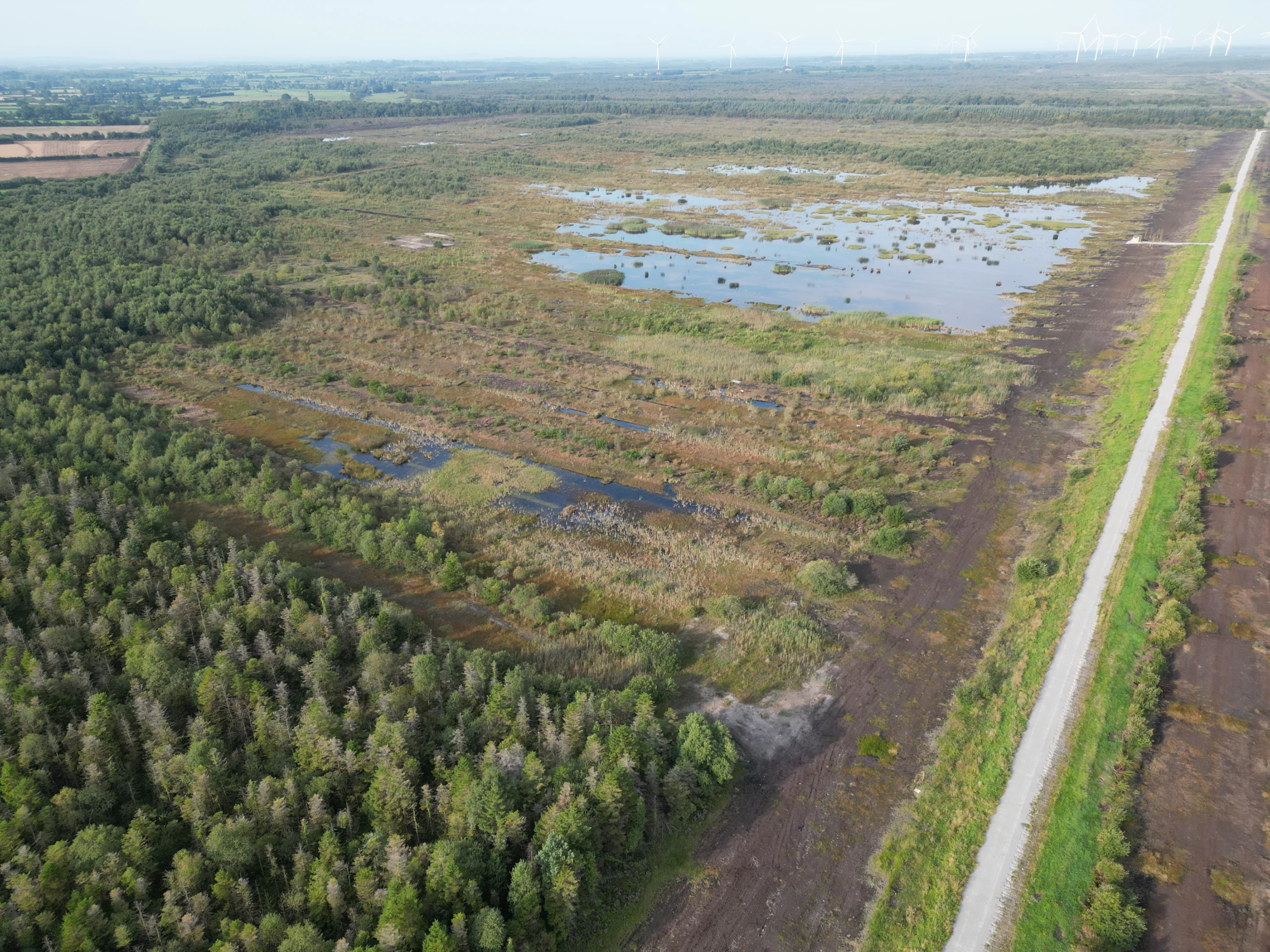
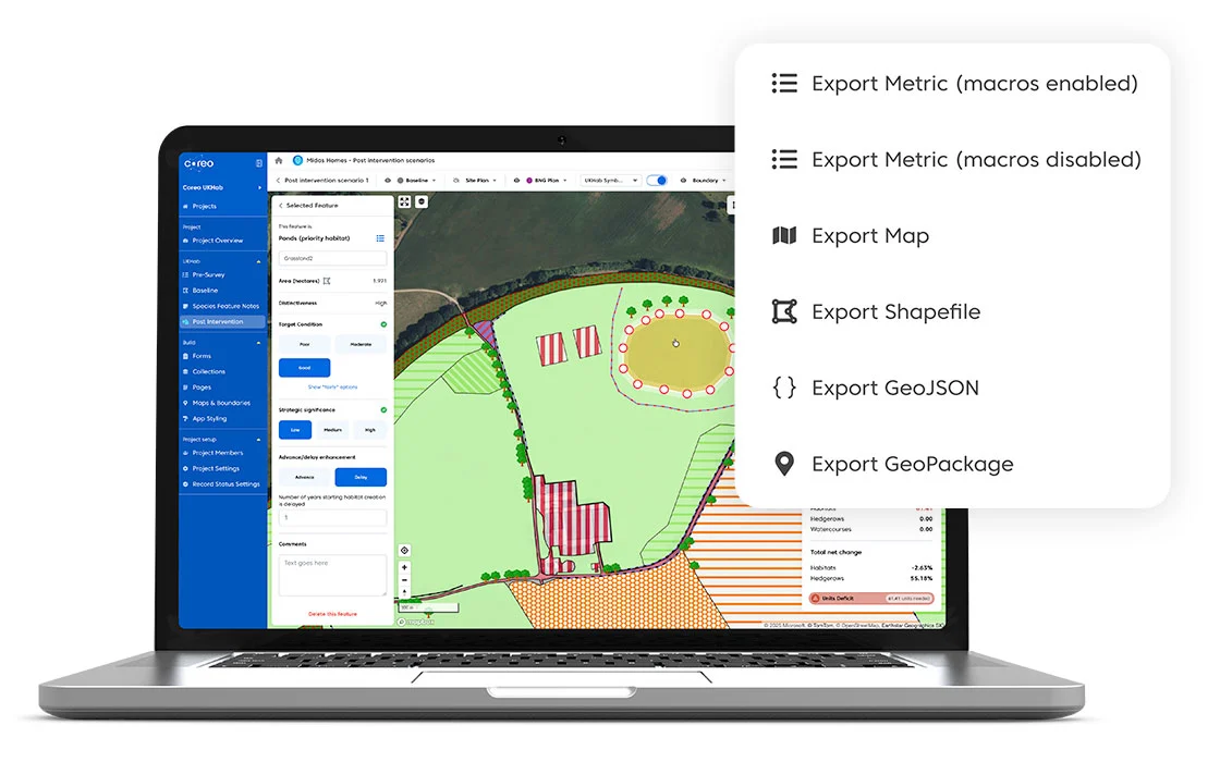
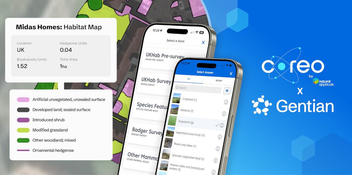
Coreo and Gentian have put their integrated workflow to the test in one of the most ecologically complex environments in Ireland

JBA Consulting are saving both their time and their sanity thanks to Coreo

Facilitating data collection across more than 20 farms in south Wiltshire
View all case studies