
We know that high-quality ecological data is only as good as the professional expertise behind it. Technology can identify patterns, but it cannot replace the specialised knowledge required to interpret complex ecosystems and their condition.
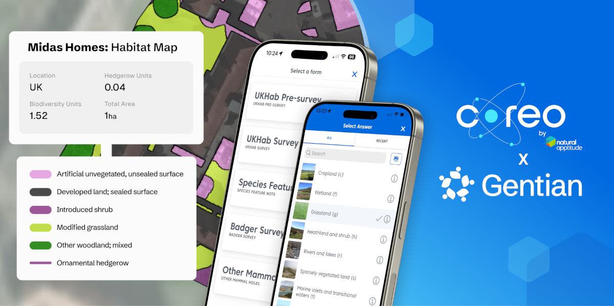
That is why we are proud to announce our strategic partnership with Gentian. We are joining forces to provide a seamless link between remote sensed habitat data, using ultra-high-resolution satellite imagery, and data validation in the field, using our digital data collection platform.
Accuracy at all scales
Our combined ambition is to provide ecological teams with the ability to operate with confidence and efficiency for habitat surveys at all geographic scales. We are working towards a workflow that combines the speed and scale of Gentian’s AI with the rigorous expertise that only a qualified ecologist can provide.
As we develop this integration, our focus is on three core pillars:
- Automating the Baseline: Our goal is to use Gentian’s AI to handle the initial, time-consuming task of accurately mapping habitats – eliminating the administrative burden of manual digitisation.
- Elevating Professional Expertise: By streamlining the preliminary mapping, we want to free ecologists to focus on high-level tasks – such as fine-tuning habitat features, undertaking condition assessments and site-specific ecological appraisals.
- Reinforcing the Gold Standard: Remote sensing provides a robust foundation, but ground-truthing remains the definitive standard for accuracy. This partnership will ensure your field-generated data validates the insights provided through the AI workflow.
The best of both worlds
We are excited to build a future that offers the best of both worlds: AI to handle the data-heavy mapping coupled with the skill of the professional ecologist to determine the habitat condition and ecological value.
Together, Coreo and Gentian are mapping the way to help you spend less time on resource intensive tasks suited to automation and more time applying your expertise where it has the greatest impact for nature restoration, conservation, and sustainable development.
“We’re excited to partner with Natural Apptitude to help ecologists work faster and more efficiently across the full site assessment workflow. By combining Gentian’s high-resolution, AI-powered habitat mapping with Coreo’s proven field data collection, GIS, and UKHab/BNG survey capabilities, we can help teams prioritise site visits, reduce time spent on manual processes, and move from initial screening to field validation and reporting with greater speed and confidence.”
Daniel White, CEO of Gentian.“Our exciting partnership with Gentian brings together two organisations focused on providing access to high quality environmental data for our customers. This collaboration will provide seamless access to more efficient and cost-effective habitat surveys, whilst maintaining the highest data quality standards. Looking ahead, we will seek to build on this partnership to deliver broader environmental intelligence, unlocking greater insight and value through our combined expertise and integrated services.“
Dave Kilbey, CEO of Natural Apptitude.
Want to be the first to know when the integration goes live?
Register your interest here.
Find out more about Gentian.