Menu
Menu
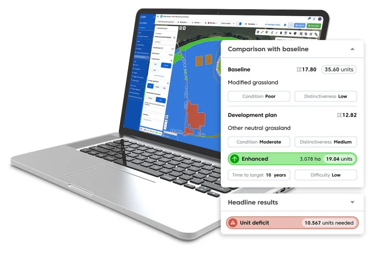
Deliver robust UKHab and Biodiversity Net Gain (BNG) datasets across complex rail, road and utility corridors by combining high-resolution satellite imagery with mobile survey workflows.
Join our technical team for a demonstration of the integrated Gentian-Coreo workflow, followed by Q&A
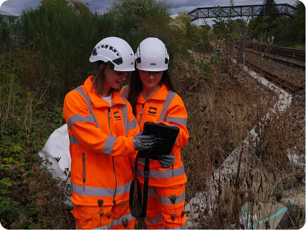
Conventional ground-based surveys for Nationally Significant Infrastructure Projects (NSIPs) frequently face operational hurdles that compromise timelines and data integrity:
Integrating remote sensing with targeted field verification establishes a streamlined, reproducible workflow that addresses these challenges while maintaining full ecological oversight.
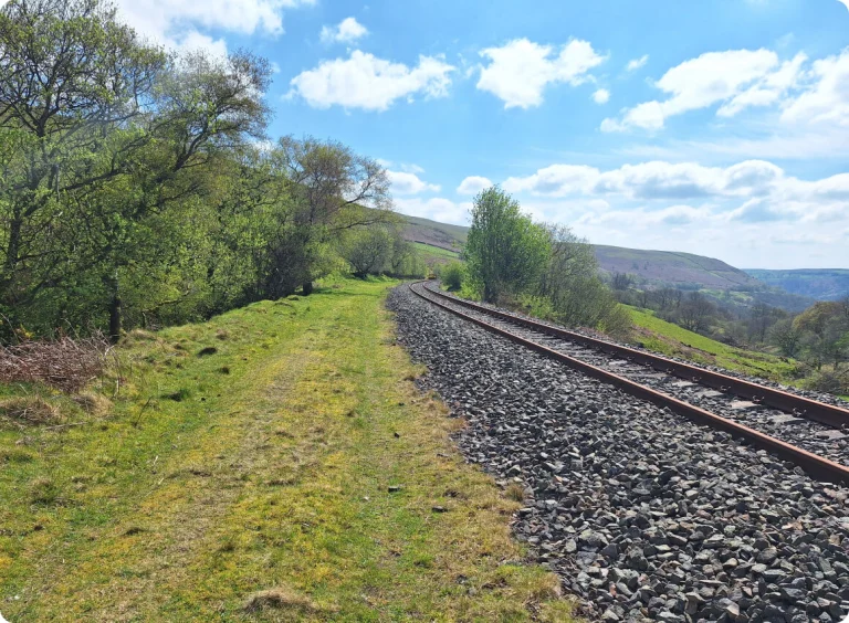
By pairing Gentian’s AI-driven satellite analysis with Coreo’s mobile spatial data collection, ecological teams can produce accurate, audit-ready BNG reports efficiently across extensive linear sites:
Gentian acquires and processes current high-resolution satellite imagery covering extensive linear corridors, eliminating early-stage access dependency.
Algorithms identify and pre-map baseline UKHab vegetation boundaries across the project site, significantly reducing initial GIS drawing overhead.
Pre-mapped spatial layers convert automatically into interactive survey boundaries within Coreo, preparing field teams before they enter the site.
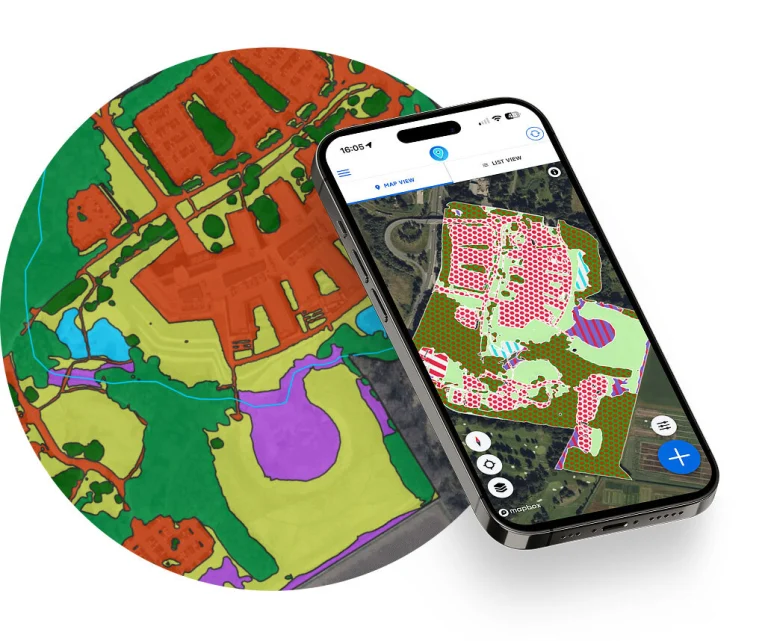
Ecologists ground-truth AI outputs, assess habitat condition scores, and modify features in the field, maintaining full technical and professional control.
Export standardised pre-populated metrics and report-ready maps ready for formal regulatory submissions, planning applications, and long-term monitoring.